Launch of Symplanicite.ca
After more than 15 years of independent research and geographical observation on Google Earth, I have moved the articles previously published in this site’s Alignments and Psychogeography sections to Symplanicite.ca. This new website explores spatial relationships from a symbolic perspective while weaving narrative threads from the “lines of meaning” that emerge on geographical maps.
The growing body of published articles, along with many more currently in preparation, justified the creation of a dedicated website. But I also felt it was important to promote the concept of symplanicity through professional SEO/GEO optimization. My meeting with Michel Bogé, the creator of the term, proved decisive. After several phone conversations between 2018 and 2020, we finally had the opportunity to share our work in person on two occasions in 2025, first in Montreal and later in Paris.
An Evolving Concept
The alignment of ancient or modern sites—ley lines, as defined by Alfred Watkins in his 1925 book The Old Straight Track—was the starting point of a fascinating virtual journey that began in 1995. This interest was further nourished by long walks through more than twenty-five countries, the influence of my father, a geomatics specialist, and the broad cultural knowledge of my mother, an art historian.
Derived from Carl Jung’s concept of synchronicity—that is, meaningful coincidences occurring in time—the concept of symplanicity focuses on coincidences occurring within the two-dimensional space of geographical maps, while also taking into account the 3D arcs created over long distances by the curvature of the Earth.
Through a multidisciplinary approach, Symplanicite.ca also seeks to introduce visitors to psychogeography, deep mapping, sacred geography, and other difficult-to-classify geographical phenomena. Another objective is to build bridges between independent researchers working in both the French- and English-speaking worlds.
I will, however, avoid any discussion of Tartaria, a highly speculative concept of questionable methodology that emerged around 2016 and has since attracted millions of followers on social media. I must admit, though, that I still follow some Tartarian channels for the quality of the historical photographs they share.
In any case, there exists an entire world of “alternative geographies” and independent researchers exploring concepts whose boundaries remain indistinct. As mapping software, geomatics tools, and networked geographic data become increasingly accessible, it was inevitable that geography, in its classical sense, would take an unpredictable trajectory and expand at an exponential pace.
Technical Notes
The creation of the new Symplanicite.ca website gave me an opportunity to refresh my knowledge of Drupal and to experiment briefly with the new Drupal CMS distribution. When you spend years working on mature websites, building a new one from scratch is almost like retaking your driver's test: installation routines, content type definitions, media formats, layout choices—the whole process all over again.
In the interest of long-term transparency, I chose to convert my Google Earth files to the KML format for import into uMap, which is built on OpenStreetMap (OSM). The resulting maps are free, libre and open source (FLOSS). In addition, the limitations of Google Earth convinced me to use artificial intelligence to calculate more accurately the arcs between points separated by thousands of kilometers. Among the free AI tools available, Google’s Gemini assistant proved particularly effective at projecting the Earth’s curvature onto OSM-based maps.
As for social media, I have decided for now to focus on learning and developing Telegram channels. The free version of the platform offers considerably more flexibility in terms of the number of photographs and characters that can be included in a single post. The Symplanicity channel is now active on Telegram and features multilingual content.
The year 2026 therefore marks the beginning of a new digital publishing adventure, assisted by AI and powered by a growing collection of mapping tools accessible to anyone with an interest in geography.
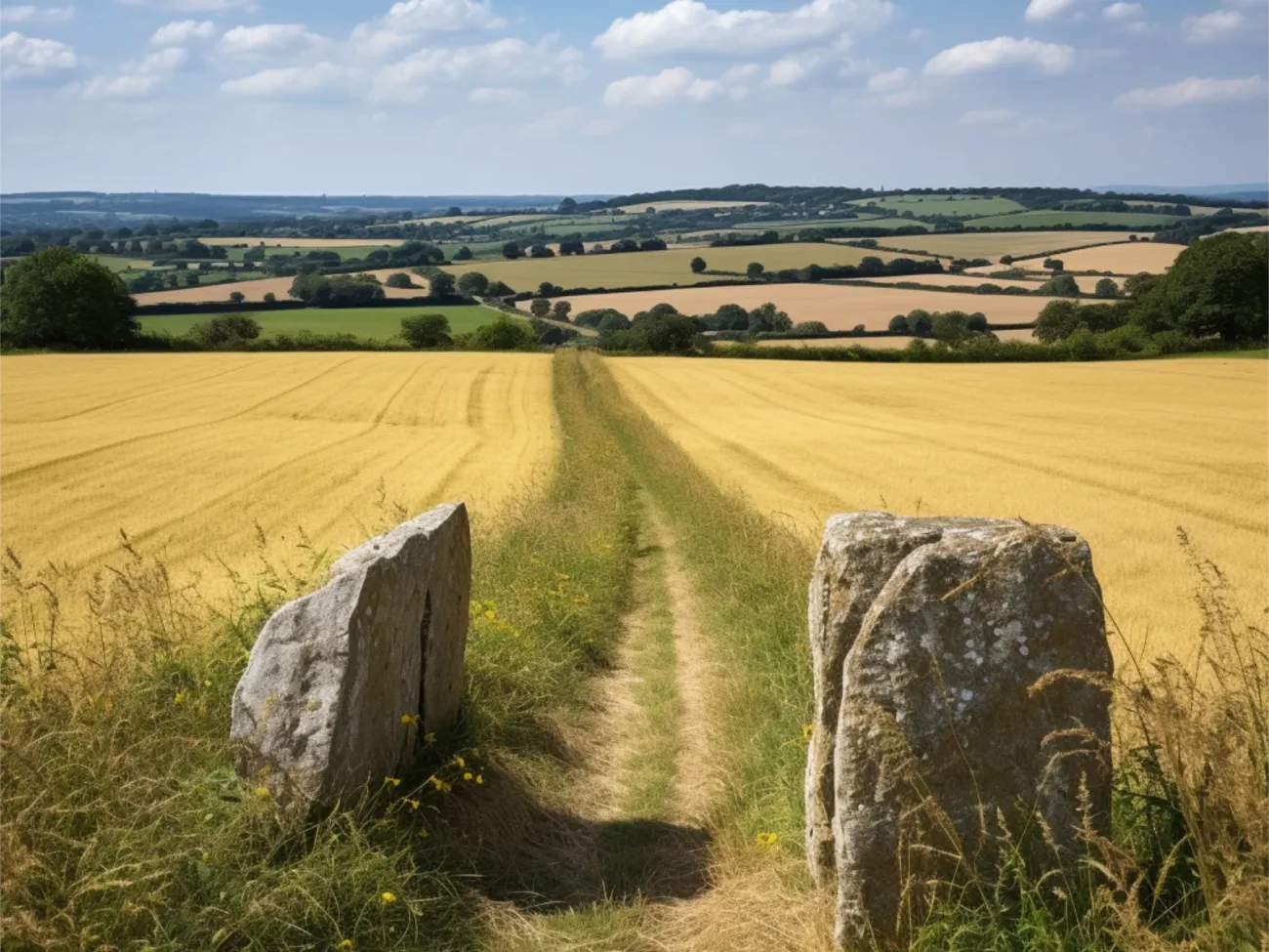
Photo: BenLovegrove.com